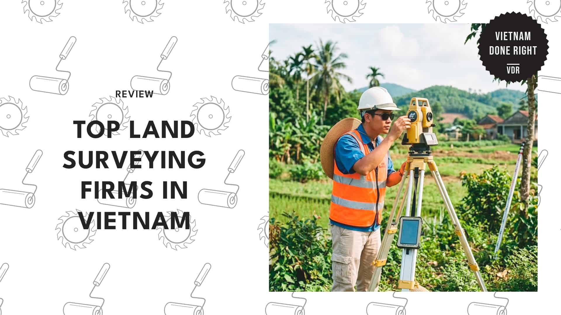
Securing Your Borders: The 5 Best Land Surveying Companies in Vietnam

Finding the right experts for land surveying in Vietnam is essential for any successful real estate project. If you’re navigating property boundaries without professional help, you might quickly encounter legal headaches or expensive construction delays.
To help save you the trouble, I’ve identified reliable firms that deliver the precise topographic data and certified documentation you need.
I’ve looked closely at the local market to identify specialists who provide the precise topographic data and certified documentation you need for a smooth transaction.
Read on to know the experts who ensure your plans are built on a solid, verified foundation!
How much does land surveying cost in Vietnam?
Land surveying costs in Vietnam generally range from 1,800,000 to 2,500,000 VND for basic agricultural plot subdivision, with an additional 500,000 VND daily rate for laborers if needed.
| Service Type | Estimated Cost |
| Agricultural Land Subdivision | 1,800,000 – 2,500,000 VND |
| Laborer Daily Rate | 500,000 VND |
1. Civil Engineering & Land Survey Drafting Outsourcing Services in Vietnam (Civiloutsourcing)
Website:https://civiloutsourcing.com/
Address: Pax Sky, 26 Ung Van Khiem, Binh Thanh, Ho Chi Minh
Contact: +84 90 601 3469 | [email protected]
Hours: Available 24/7
Civil Engineering & Land Survey Drafting Outsourcing Services in Vietnam tackles the challenge of high design overhead directly by offering remote drafting solutions that can cut operational costs by up to half.
Their dedicated team handles complex surface modeling and the development of grading plans. With this, your internal staff can focus on higher-level strategy and client management.
A project manager who recently used them to temporarily scale their team noted a significant improvement in project turnaround times without compromising quality.
They’re a powerhouse for back-end technical work. For accurate surface creation and vehicular analysis, they use Civil 3D and are incredibly skilled with it.
Just keep in mind that they operate strictly as an outsourcing hub; they specialize in the digital drafting side and do not dispatch physical field crews to measure boundaries on-site.
2. Viet Hydrographic Survey Co.,Ltd (VHS)
Website:https://www.vhs-survey.com/
Address: 3/12 Nguyen Thi Dinh St, Tam Thang Ward, Ho Chi Minh City
Contact: +84 902 586 000 | [email protected]
Hours: Available 24/7
Handling massive topographic areas requires specialized equipment that goes far beyond standard tripods and measuring tapes.
Viet Hydrographic Survey tackles this by deploying advanced LiDAR technology, with aircraft-mounted systems for rapid and highly accurate terrain data collection.
They also hold unique expertise in marine and bathymetric surveys, comfortably mapping underwater depths up to 3,000 meters.
This technical competence really shines when dealing with complex infrastructure, such as offshore wind turbines and routine waterway maintenance.
To save you the hassle of navigating dangerous or remote terrain, their team frequently uses cutting-edge drone photogrammetry to create reliable digital models of areas that are tough to access on foot.
Just keep in mind that because they rely heavily on premium aircraft and deep-sea systems, their pricing is often not cost-effective for simple residential boundary checks.
Nonetheless, developers will find them indispensable for massive structural monitoring projects.
3. Aidedo
Website:https://aidedo.com/
Address: Pax Sky Building, 26 Đ. Ung Văn Khiêm, Phường 25, Thạnh Mỹ Tây, Hồ Chí Minh
Contact: 0906 013 469 | [email protected]
Hours: Mon – Sat: 7:30 AM – 5:30 PM
Trusting a new remote partner with critical plot plans can feel like a massive leap of faith for any developer. Aidedo removes that hesitation by offering a completely free trial for your first project to ensure their drafting standards align perfectly with your expectations.
They employ a rigorous verification process for setback surveys, which is a lifesaver for ensuring formwork sits correctly against legal lines before any concrete is poured.
Because they’re highly familiar with multiple measurement systems, they’re an excellent asset for international builders managing extensive property portfolios.
Just a reminder: while they manage massive data sets and drafting requirements effortlessly, they are strictly a Business Process Outsourcing (BPO) entity.
You’ll need to supply all initial field data and grading plans, as they don’t handle physical site tasks like tree removal services or on-site boundary measurements.
4. NEH Co., Ltd.
Website:http://www.neh.vn/
Address: No 4 – Lane 495/1/30 – Nguyen Trai Street – Thanh Xuan District – Hanoi City
Contact: +84(0)2435528501
Hours: By Appointment
Locating a crew capable of rapid deployment across different provinces is a major asset for tight construction schedules.
NEH maintains a robust physical footprint across the country, with distinct branches strategically positioned in major hubs such as Hanoi and Ho Chi Minh City.
They effectively blend traditional property boundary techniques with advanced 3D laser scanning for comprehensive on-site execution.
I hired them to track settlement for a commercial development last year, and their long-term geotechnical monitoring was exceptionally detailed.
They translate design drawings flawlessly to the physical site, ensuring dimensions and alignment are accurate, and all safety protocols are met.
Just a heads-up for international clients: their service model caters heavily to domestic megaprojects, which can sometimes create communication hurdles for non-Vietnamese speakers navigating the local market.
If you’re managing a project from abroad, you might want to ensure you have a local lead to help bridge that gap.
5. Geomatic Consulting International (GCI)
Website:https://gci-int.com/
Address: 73 Đường Số 1, Bình Trưng Đông, Long Trường, Hồ Chí Minh
Contact: 0909 776 625
Hours: Mon – Fri: 8:30 AM – 5:30 PM
Foreign investors often struggle to find local technical partners who operate under familiar regulatory standards.
Geomatic Consulting International solves this by conducting Technical Due Diligence (TDD) checks and boundary verifications in full compliance with strict international protocols.
Furthermore, they guarantee that all senior staff speak fluent English and have at least 10 years of experience working alongside global engineers.
The firm also provides an incredibly wide array of mapping capabilities. In particular, they handle everything from high-resolution satellite imagery to precise Building Information Modeling (BIM).
You can also expect clear communication during structural deformation tracking or while coordinating site clearance alongside local pest control services.
Because they use imported equipment and highly experienced senior personnel, their services come at a noticeably higher price point than those of standard local outfits.
However, for those needing a partner who “speaks the same language” both literally and technically, the investment is well worth it.